Wild Times ‑ Tanker Tracking
Monday, June 18, 2018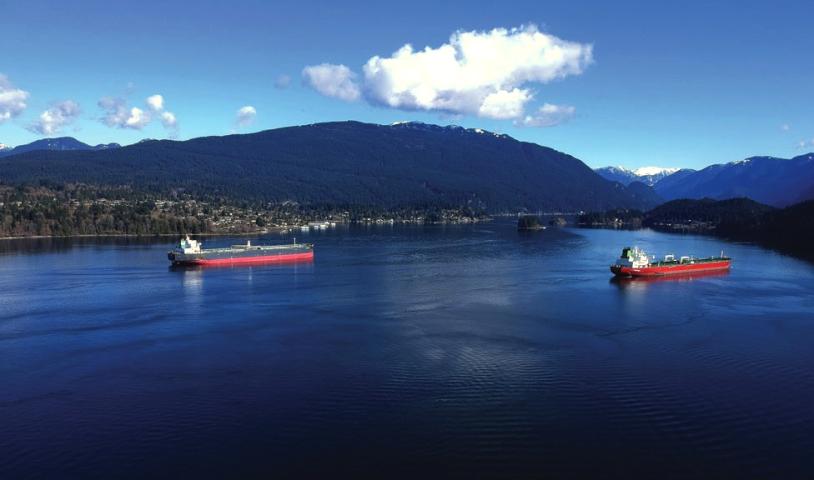
June 18, 2018
Wild Times by Joe Foy
I took up a new hobby this year. Tanker tracking became my consuming passion in March and April. Over the course of those two months I learned a surprising amount about my community and the people that live here and about how tankers are putting everything we love at risk.
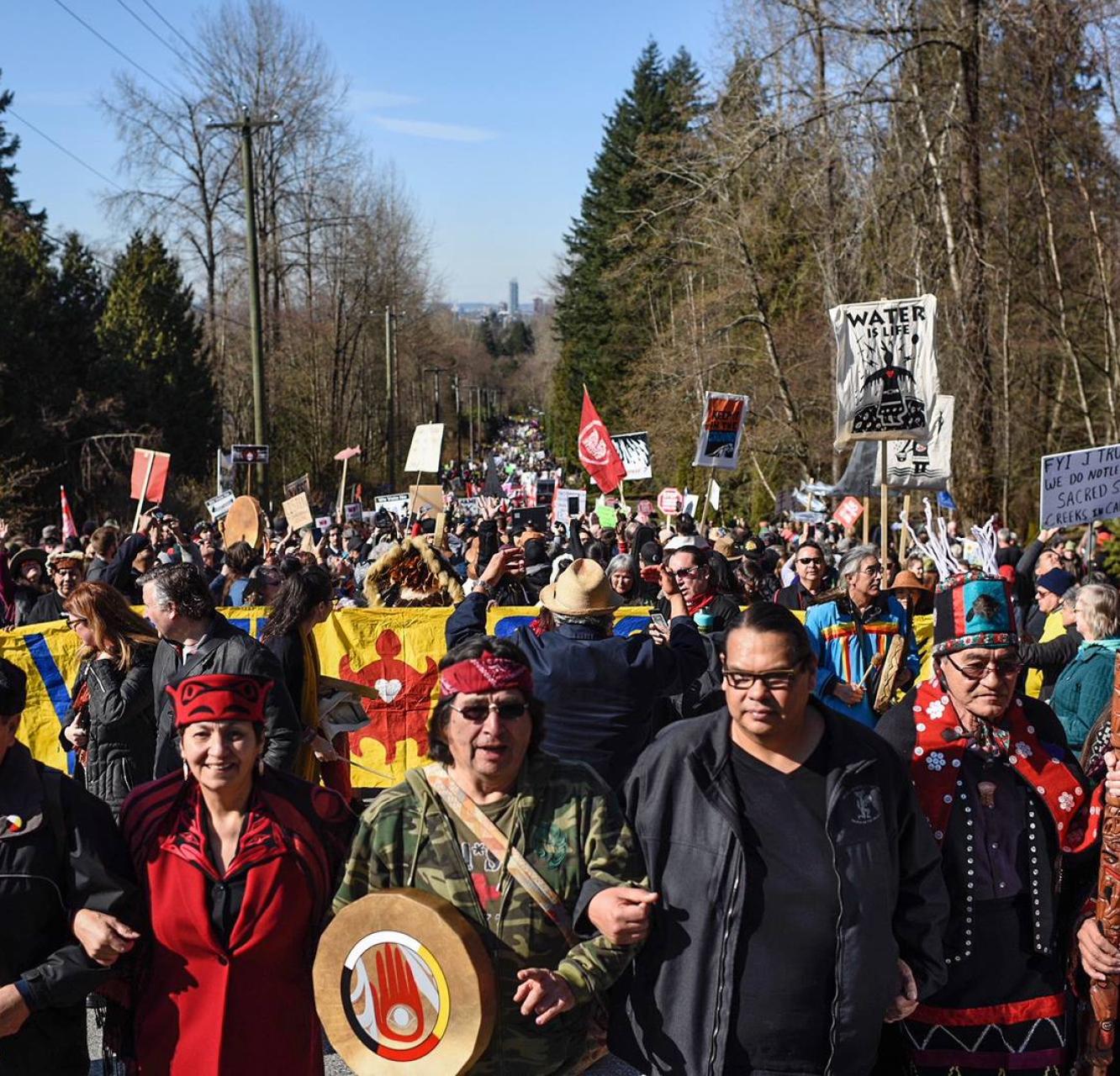
I know that the current rate of tankers coming into Burrard Inlet to fill up at Kinder Morgan’s Westridge Marine Terminal is about five a month, and if they ever expand their pipeline as they want to, that number would balloon to about 35 tankers a month.
I wanted to see the tankers for myself.
To track tankers you need to know when they are coming in to the terminal. It turns out that it’s not that hard to do. There are a number of websites that will help you with this. The one I used is Marine Vessel Traffic, which has a tanker tracker feature. It has a great map that shows you where many of the oil tankers in the world are in real time. If you live in the Metro Vancouver area like I do, zoom in to Burrard Inlet and Kinder Morgan’s Westridge Marine Terminal to see if one is docked there right now. If you live in the Victoria area, zoom in to see if there is a tanker passing just offshore of your town.
Once you have learned how to track the tankers online it’s time to track them for real. For this you will need a camera and some knowledge about the best places to see the tankers up close.
I have found that Barnet Marine Park in Burnaby is about as good as it gets. A trail along the beach heads west ending in close up views of the Westridge Marine Terminal and any tanker that may be berthed here. Tankers waiting to enter the terminal will anchor just offshore at the entrance to Indian Arm. Because the beach here faces north, the tankers are usually in a good light for taking photos or video.
Once you have taken your photos and video clips you need to send them to your local media and upload them on to your social media sites – along with some pithy writing of course. People need to see for themselves how big, bad and dangerous these tankers are up close and personal.
The tankers I saw were two soccer fields long, as high as an office tower and filled with diluted bitumen – a toxic flammable substance that when spilled releases deadly gases and eventually sinks to the ocean floor in a way that no one on Earth really knows how to clean up.
I also saw a lot of tankers flying flags of convenience. Ships registered under flags of convenience can avoid the regulations of the owner’s country – which means good luck to local taxpayers in collecting damages in the event of a big spill. Happy tanker tracking!
Joe Foy is the national campaign director for the Wilderness Committee, Canada’s largest membership-based wilderness preservation organization.
To see original article in the Watershed Sentinel click here.