Spotted Owl
Bird on the edge
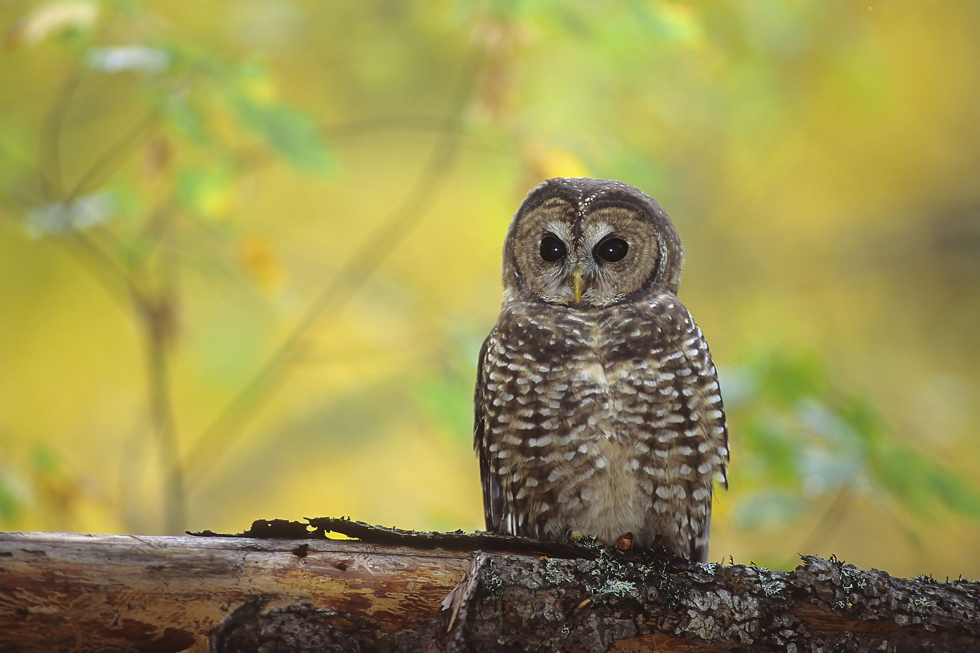
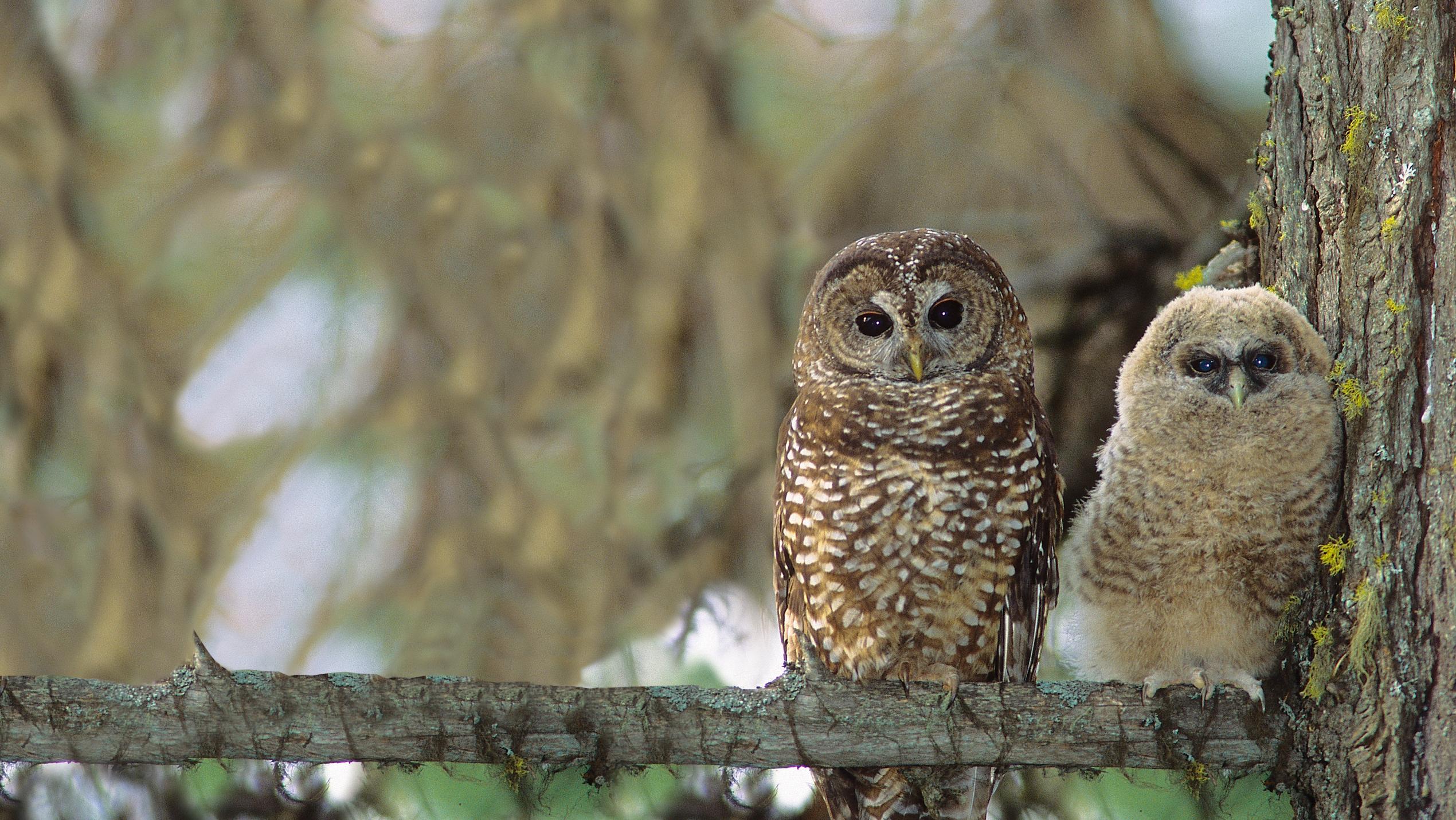
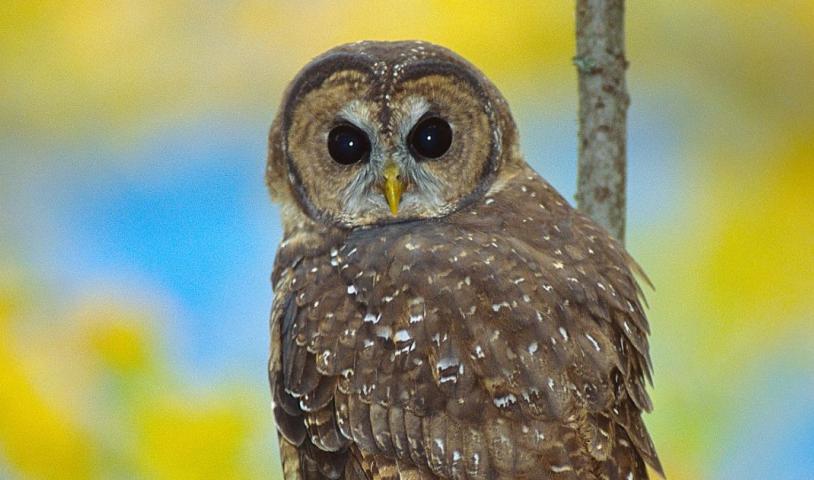
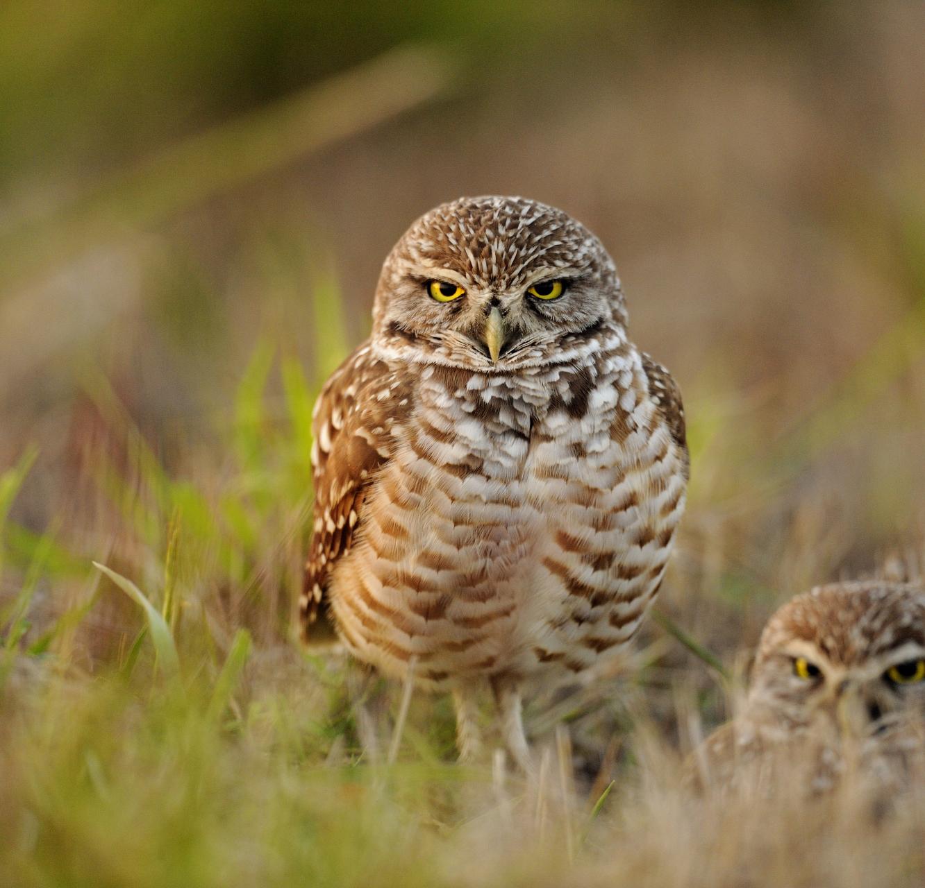
The northern spotted owl, a striking medium-sized owl with distinctive dark-brown eyes, is the most critically endangered species in Canada. Found only in the southwestern corner of mainland B.C. within Salish territories, this environmental icon relies on old-growth forests to roost, nest and forage. Unfortunately, industrial logging has driven the rapid destruction of the owl's old-growth forest habitat for over a century. Where 500 pairs of spotted owls and their young once lived, only a single wild-born spotted owl remains today.
B.C. sped up logging in spotted owl habitat after federal recovery plan
Take Action
B.C. must stop logging spotted owl critical habitat!
Habitat this special
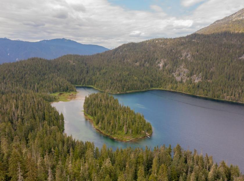
Imagine a landscape with trees living for well over 10 centuries and taller than a 20-storey office tower. Big, old trees with branches hung with moss and lichens and massive root systems watered by rushing streams fed by mountain top snowmelt. This is the spotted owl’s critical habitat, and it’s mind-blowingly beautiful.
Part of the culture
People have made their home in spotted owl range for a very long time, much longer than the oldest of the big trees. For millennia, Salish Peoples have lived amongst the spotted owls. Ancient long house sites, pit house depressions, traditional stories and songs, bark harvest scars, petroglyphs, and pictographs, baskets and masks reveal a rich history of people living with, relying on and celebrating wildlife, including spotted owls.
Perhaps that’s also one of the reasons why so many people today choose to live in southwest mainland B.C. With a population of three million people, Metro Vancouver is by far the largest urban centre in spotted owl range. People here live within easy day-trip distance of some of the finest outdoor recreation sites in the world. When we succeed in protecting all of the spotted owl’s critical habitat, we’ll be protecting some of the most spectacular aspects of the place so many call home.
The situation is dire
At last count, only one wild-born and several captive-born spotted owls remain in the forests. Their habitat, the once-thriving old-growth forests, has been ravaged by logging, leaving behind a fragile remnant of what once was. Currently, several dozen spotted owls live in captivity, where baby owls are hatched with the hope that they may one day be released into protected, restored forests, allowing the population of spotted owls to eventually return to healthy numbers once again.
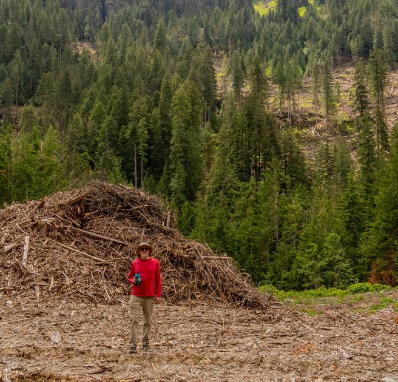
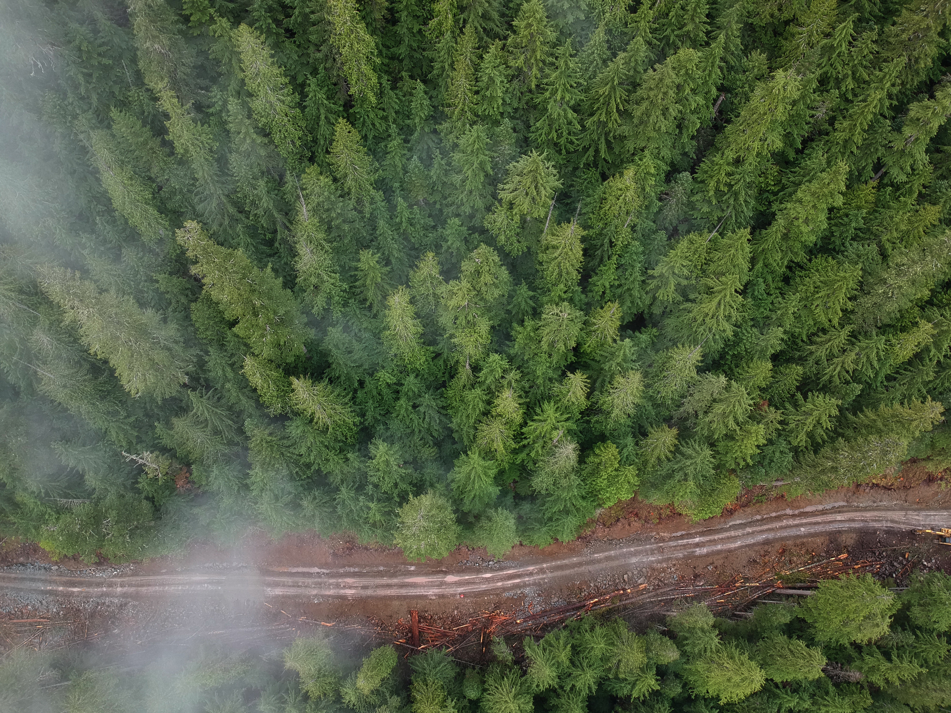
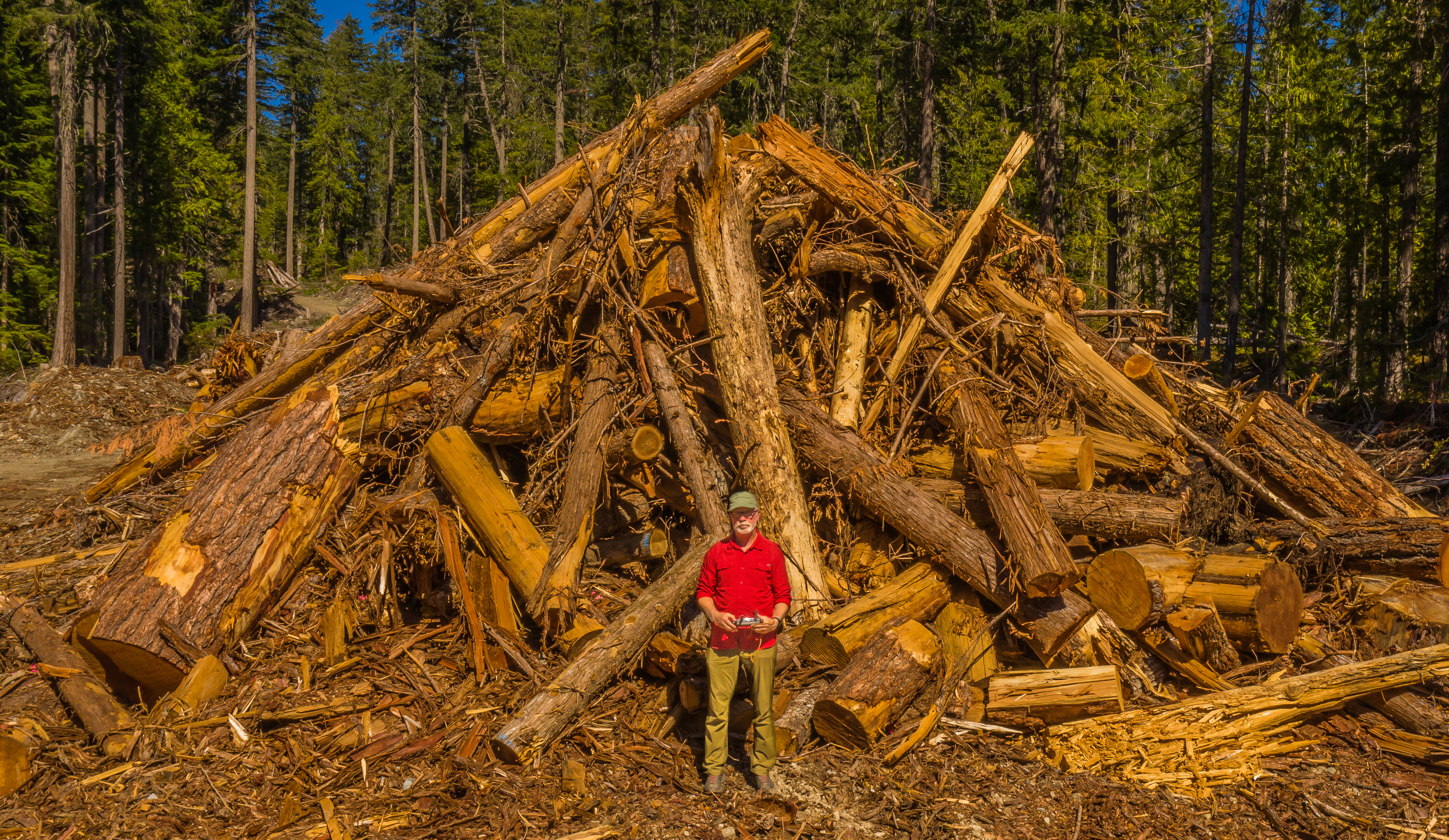
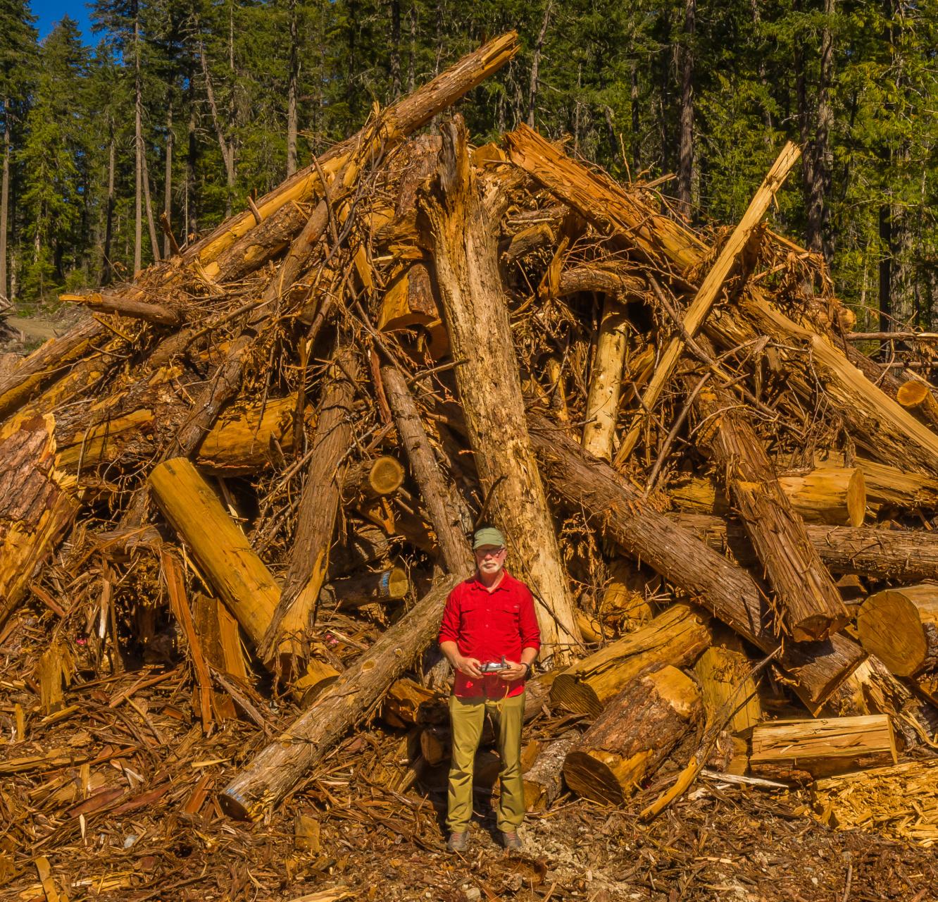
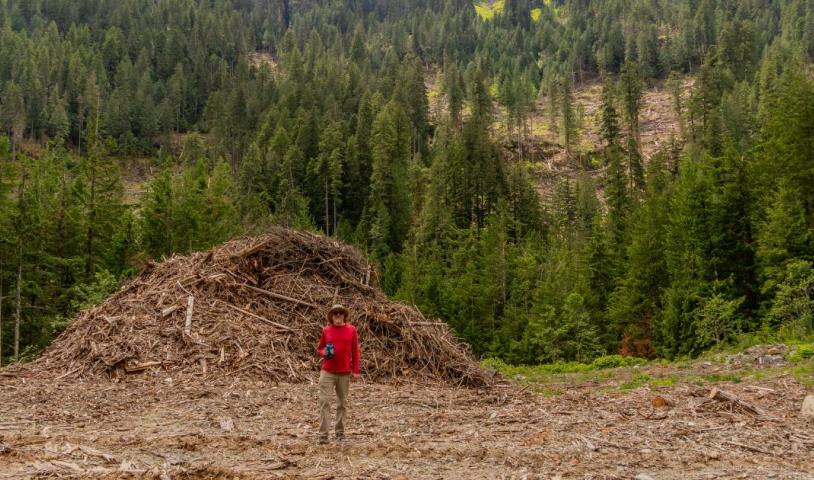
Wait, habitat is still being logged?
Yes, it is. Many precious natural areas within the spotted owl’s critical habitat are currently threatened by logging approved by the B.C. government. Our goal is to get that logging stopped once and for all.
And it’s not just about the owls. Numerous other wild creatures depend on this same ancient forest habitat to survive and thrive. Species like Pacific wild salmon, trout, grizzly bears, marbled murrelets, Roosevelt elks, fishers, martens and many more all do better when spotted owl critical habitat forests are protected.
At last, Canada comes to the rescue?
In June 2025, the federal government finalized its long-awaited Spotted Owl Recovery Strategy, which maps out more than 4,000 square kilometres of critical habitat forests in southwest B.C. that must be protected. About half of this critical habitat, roughly 2,000 square kilometres, is already under protection within provincial parks and designated no-logging zones, including Metro Vancouver’s drinking water supply areas and B.C.’s long-term designated spotted owl Wildlife Habitat Areas. However, B.C. still continues to permit logging in the remaining 2,000 square kilometres of unprotected spotted owl critical habitat forests. That's got to stop.
Map of spotted owl critical habitat
We can win the fight
To help bring the spotted owl back from the brink of existence, we must ensure important and beautiful places in B.C., such as the forests of the Teapot Valley, which drain into the Nahatlatch River, are spared from the chainsaw. Forests around Fire Lake and Glacier Lake, which both drain into the lower Lillooet River, and also the forests of Spuzzum Valley, which drains into the Fraser River, are other much-loved natural wonders. These areas are not only stunning landscapes but also hold First Nations’ traditional foods, medicines, sacred sites and cherished recreational destinations, including hiking trails, fishing spots, viewpoints and backcountry camping gems.
We’ll have won when all of the federally designated spotted owl critical habitat is protected and off-limits to logging, and when the population of spotted owls in the wild has increased and stabilized at 250 adult spotted owls or more. Join us in applying pressure on the B.C. government to do the right thing and stop all logging within their critical habitat.
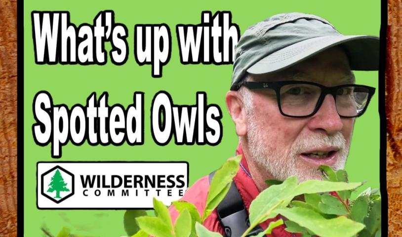
Federal spotted owl recovery strategy gives new hope
Canada has finalized the spotted owl recovery strategy — at last. Hear from the Wilderness Committee's Protected Areas Campaigner Joe Foy as he explains why this could be a big deal for the restoration and preservation of old-growth forest areas in the southwest mainland region of B.C.
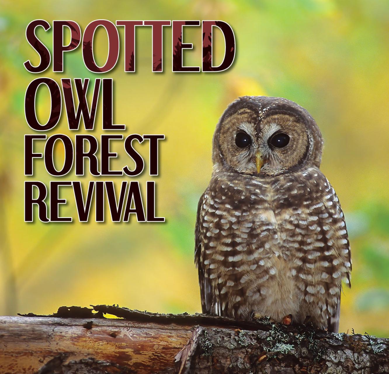
Spotted owl forest revival
The spotted owl has been through a lot — its population in Canada has plunged from 500 pairs to the edge of extinction after a century of industrial logging. But now, we’ve got a rare shot to turn things around. The federal government released its finalized Spotted Owl Recovery Strategy, and it calls for the protection of 4,000 square kilometres of old-growth forest habitat. However, the B.C. government is still handing out logging permits in these critical habitats. Read on to learn how you can help.
Federal spotted owl recovery strategy gives new hope
Canada has finalized the spotted owl recovery strategy — at last. Hear from the Wilderness Committee's Protected Areas Campaigner Joe Foy as he explains why this could be a big deal for the restoration and preservation of old-growth forest areas in the southwest mainland region of B.C.
Spotted Owl Forest Revival
The spotted owl has been through a lot — its population in Canada has plunged from 500 pairs to the edge of extinction after a century of industrial logging. But now, we’ve got a rare shot to turn things around. The federal government released its finalized Spotted Owl Recovery Strategy, and it calls for the protection of 4,000 square kilometres of old-growth forest habitat. However, the B.C. government is still handing out logging permits in these critical habitats. Read on to learn how you can help.
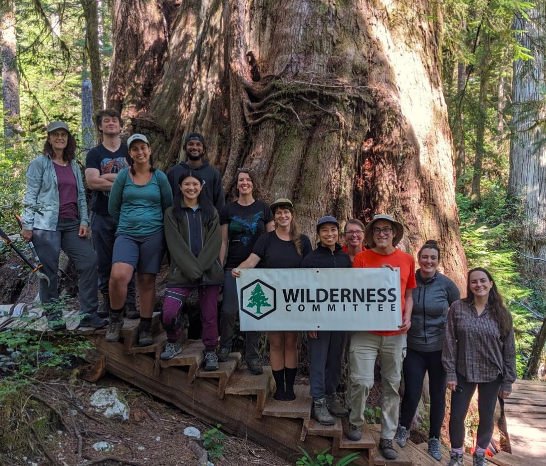
Campaign Gallery
Check Out More Updates
B.C. sped up logging in spotted owl habitat after federal recovery plan
Canada news: spotted owl in depth update and how YOU can help save them
Significant step for spotted owl as final recovery strategy is published following nearly two‑decade delay
Donate To Defend Wildlife
Become a wildlife defender with a gift today. Your donation helps push for stronger laws and protections that so many at-risk species need.
Join Us
Don’t miss your chance to make a difference. Receive campaign updates and important actions you can take to protect wildlife, preserve wilderness and fight climate change.