Dreamscapes ‑ Wild Times
Wednesday, September 14, 2005
September 15th, 2005 - Read Joe Foy's Wild Times column in the Watershed Sentinel as he looks at how dreams create the world we live in.
By Joe Foy
Many generations ago Nlaka’pamux youth would write their dreams down on the rock walls of the Stein River Valley canyon. Today the panels of red ocher pictographs are known to be the most extensive of their kind to be found anywhere in British Columbia.
The 30 year long battle to save the Stein Valley from being logged is the main reason I joined the BC conservation movement way back in the early 80s. The 110,000-hectare watershed located across the Fraser and a bit upstream from the present day village of Lytton is a place of incredible beauty and spiritual power. A great deal of the Stein’s
allure comes from its unspoiled nature. But the dream writers too, exert a mysterious influence on all who stop a while to wonder at the drawings of birds and grizzly paw prints
and rivers and mystical beings. I was captivated on my first hike through the area. I still am to this day.
The Stein was eventually saved in 1994 when the entire watershed was designated by the provincial government as the Stein Valley Nlaka’pamux Heritage Park, thanks to the combined efforts of thousands of Native and non-Native “voices for the wilderness.”
Sometimes I wonder though, if not for the dream writers, would the Stein have been saved?
I suppose you could say that all things that we humans do have their very headwater beginnings in a dream of some sort.
Which brings me to the world of google. You know google, the online search engine that has become one of our newest words.
The commonly heard phrase “google it” has developed a new meaning recently. Google now has online satellite photos of a good portion of Earth, including some great coverage of BC wilderness areas.
To check it out go to http://maps.google.ca/
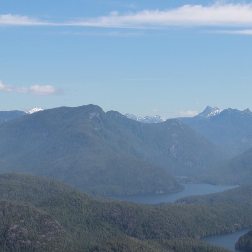
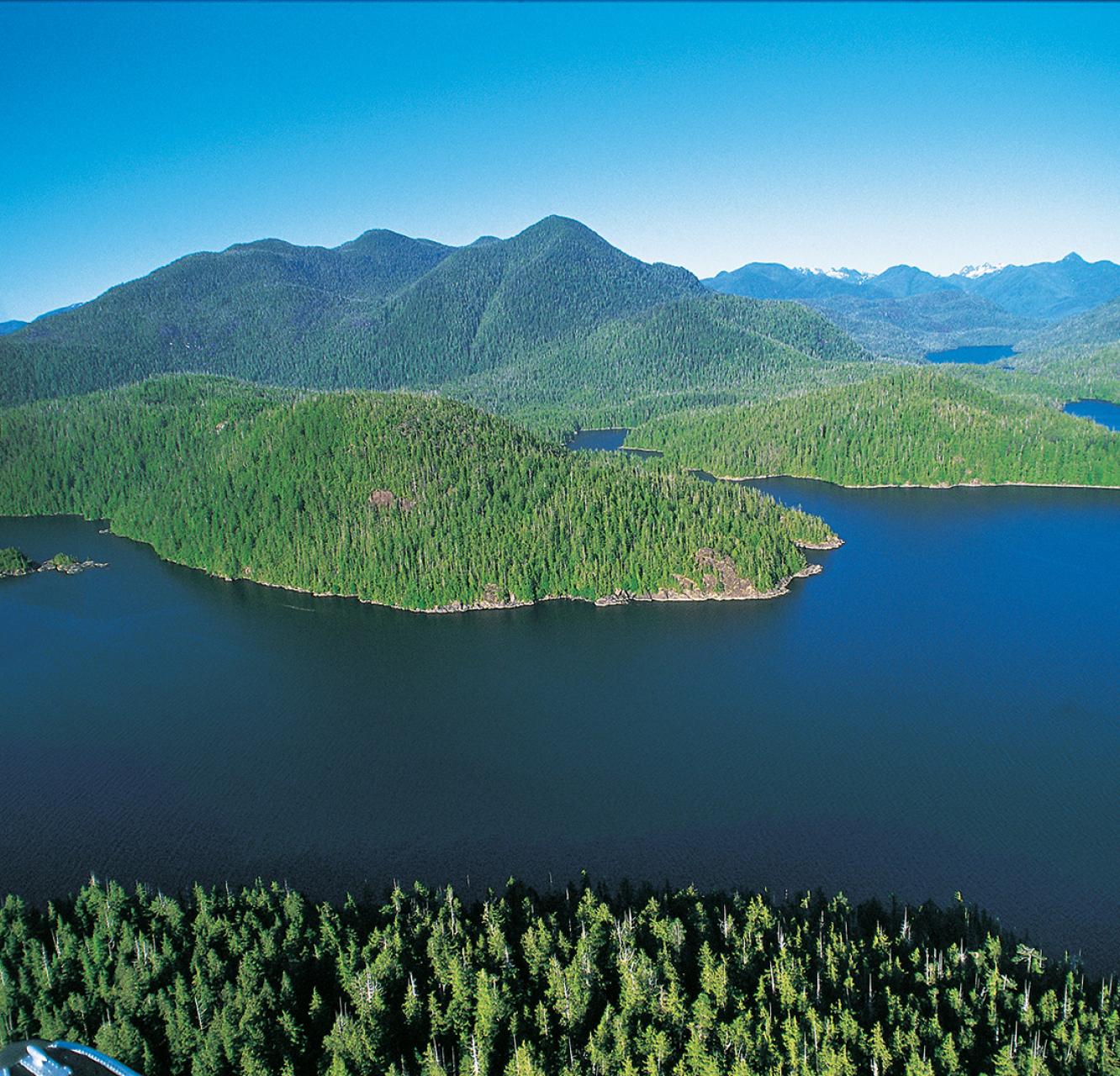
I have been spending a bit of time getting a birds-eye view of BC wilderness areas, ever since I found out about this new google feature. You can in the blink of an eye find out which valleys are still unlogged. You can see the logging roads and the clearcuts. You can see homes and vehicles and farm fields. You can even see people’s dreams written on the land.
You don’t believe me about the dream thing? Go online and see for yourself. Start by checking out the country north of Squamish. Follow the Squamish River north to its headwaters, up to the Elaho Valley. In the upper Elaho you can see a huge area with no roads or clearcuts – a beautiful green expanse of old growth forests surrounded by the peaks and icefields of the Coast Mountains. Do you know why it’s still unlogged? Because the people of the Squamish Nation dreamed it so – that’s why.
Back in 2000 the Squamish Nation began a community process and asked their people to put down on paper their dreams for land management in their territory. What resulted was the designation of a number of “Wild Spirit Places”, including the upper Elaho, where ancient landscapes would be protected by the Squamish Nation for future generations to enjoy and learn from.
Want to see some other wild dreams that can be seen from space? Have a look at Haida Gwaii on the Queen Charlotte Islands. The Haida Nation has designated an entire network of
tribal parks in their territory. They stand out on the satellite maps as green jewels etched around the edges by clearcuts.
On the Chilcotin Plateau next to the Chilco River the Nemaiah people have kept alive their dream of a wild horse sanctuary in the Britanny Triangle, a pristine area of forests and meadows surrounded by roads and cutblocks.
All over BC wild dreams can now be seen from space. Something to think about, the next time you start to drift off…
Joe Foy is Campaign Director for the Wilderness Committee, Canada’s largest citizen-funded membership-based wilderness preservation organization.