Wild Times: 26 Mile Miracle
Thursday, November 12, 2020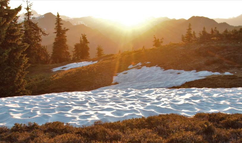
It’s time for the BC government to extinguish mineral tenure in the “donut hole” and designate the entire area as protected lands forever
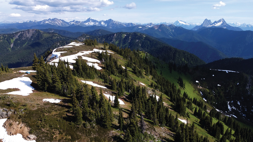
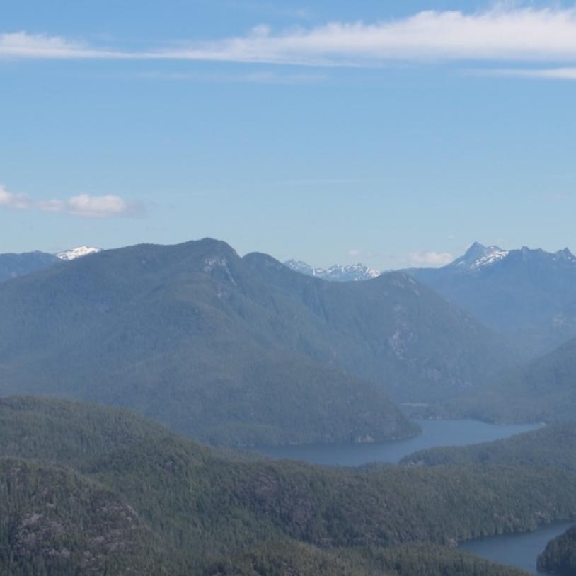
View from Porcupine Peak | Photo: Joe Foy
At the end of an epic day of bush thrashing and side-hill gouging, we finally made it to the top of Porcupine Peak. The view was worth it. We saw rolling waves of jagged mountain peaks piercing the clear blue sky as far as the eye can see. Even if it had taken three days of backpacking, it was worth it.
A friend and I were on a six-day backcountry trip in 26 Mile Valley, a wilderness watershed with no roads or even trails – just a vast expanse of mossy old forests and flower-filled alpine meadows with a crystal clear creek wending its way through it. All the while we were in that wild valley, my backpacking buddy and I didn’t see another human being, not even a boot print. COVID-19 distancing was pretty much assured. It sounds like we were in a remote location in Northern BC or the Yukon, but, in fact, we started our hike only a two-hour drive from my home in New Westminster – part of Metro Vancouver, which is home to over two million people.
From the top of Porcupine Peak, we could see a limitless jumble of mountaintops connected by a tangle of alpine ridges. To the south lay the traditional territories of the Skagit peoples, to the west the Stó:lō communities, to the north the Nlaka’pamux and to the east the Syilx/Okanagan. The awesome twin peaks of Hozomeen Mountain rose up like two flint knives to mark the site of an ancient chert mining area, which has been used since time immemorial by the surrounding tribes to create cutting tools and arrowheads that were then traded from community to community all over the west.
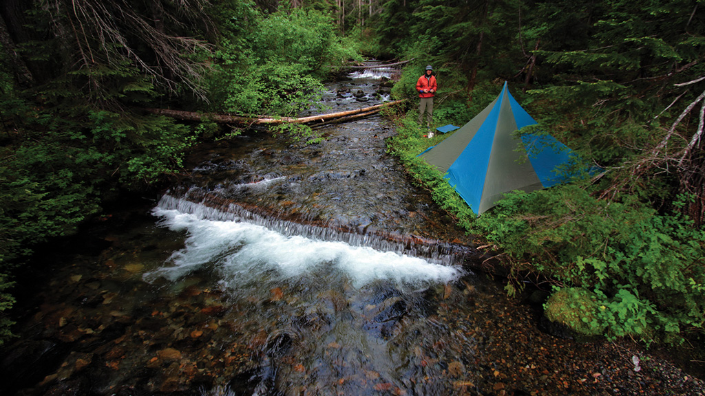
Camp on 26 Mile Creek | Photo: Joe Foy
As far as we could see we couldn’t make out a single road or clearcut. This part of the North Cascade mountains has over one million hectares of protected lands that are joined together, even though they are divided by the US/Canada border. Parts of BC’s Manning and Skagit provincial parks and the Cascade Recreation Area can all be seen from the top of Porcupine Peak. Looking south, we could see a vista of forests and mountains extending all the way to the North Cascades National Park and the Pasayten Wilderness in Washington State.
Directly below Porcupine Peak, rolling out like some great forested welcome mat, lies the pristine 26 Mile Valley. Several centuries ago, the view of the valley ringed by peaks would have been pretty much the same.
BC Timber Sales, which is operated by the BC government, had planned to start clearcutting 26 Mile Valley this year. Only a last-minute intervention by the provincial environment and forest ministers in December 2019 saved the valley from being roaded and logged.
26 Mile Valley is in an area nicknamed the Donut Hole – a region of unprotected lands held as mineral tenure by the mining company Imperial Metals, of Mount Polley tailings dam collapse fame.
Luckily for the Donut Hole, almost a century of exploration has resulted in no major mine there. It’s time for the provincial government to extinguish the mineral tenure and, in partnership with First Nations, designate the entire area, including 26 Mile Valley, as protected lands forever. Write to your MLA today and ask them to make the miracle of 26 Mile Valley official by granting protected area status to the Donut Hole.
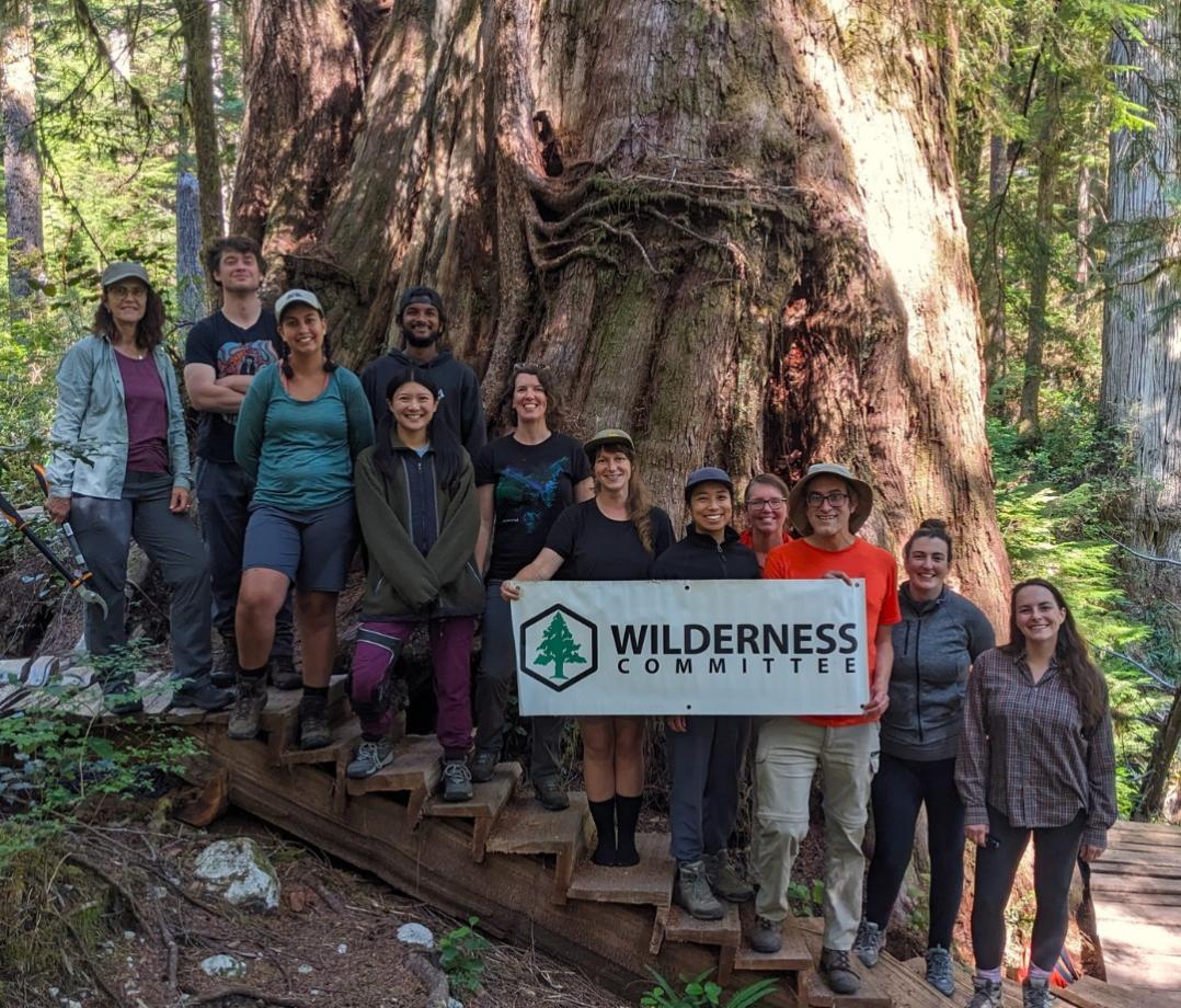
Joe Foy is the protected areas campaigner for the Wilderness Committee.
See the original article on page 36 of the October/November 2020 issue of Watershed Sentinel.