Wilderness Committee releases map of logging clearcuts and forest cover in Whiteshell Provincial Park
Thursday, May 24, 2007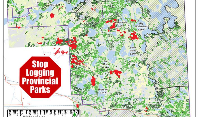
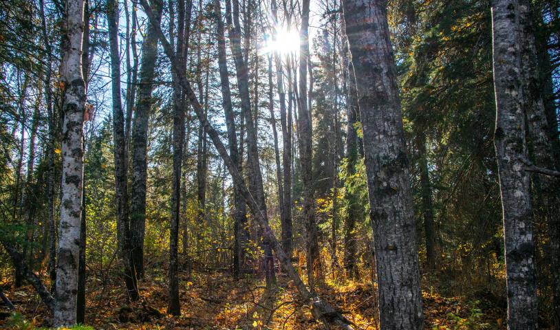
After months of requests to government, the Wilderness Committee in Manitoba finally received some maps detailing recent logging clearcuts in Whiteshell Provincial Park. With this information the Wilderness Committee compiled a map showing the logging clearcuts and the remaining forests in the park. The new map shows exactly how few old-growth forests remain in Whiteshell, and how many old-growth forests have been fragmented by clearcuts.
Click here to view map.