Hydro Bipole III: Maps show line may be longer than predicted
Wednesday, September 22, 2010
MANITOBA Hydro's Bipole III transmission line could be even longer than predicted, with one proposed route sending power 66 per cent farther than the rejected path down Lake Winnipeg's east side, according to a draft map.
The three proposed routes released Wednesday, which curve around the west side of Lake Manitoba and Lake Winnipegosis, are from about 400 to 600 kilometres longer than if a transmission line were built on the east side of the province.
Earlier predictions were that the west route would be about 450 km longer and cost $410 million more.
The longer the line, the greater the cost for materials and right-of-way acquisitions, said Hydro spokesman Glenn Schneider. Hydro has not costed out the proposed routes yet, he said.
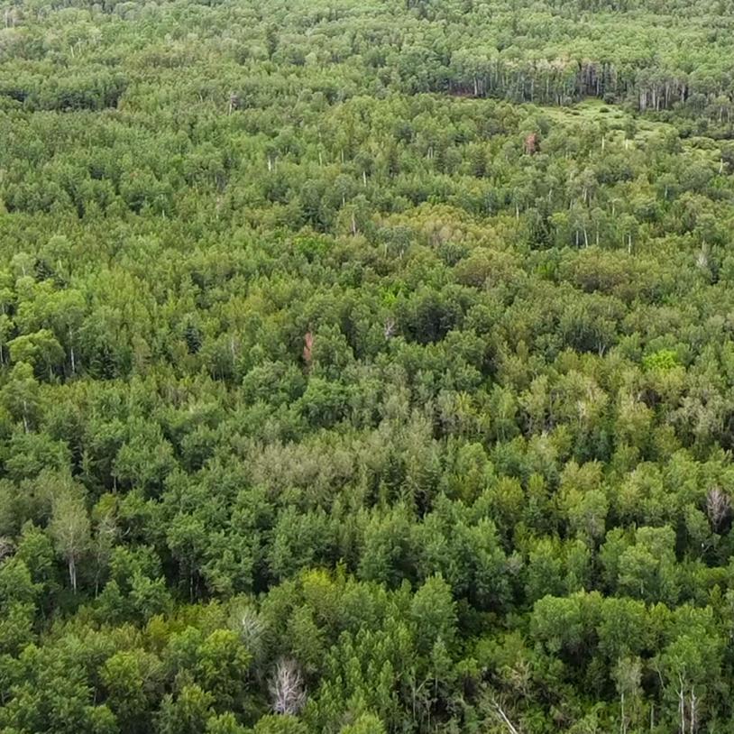
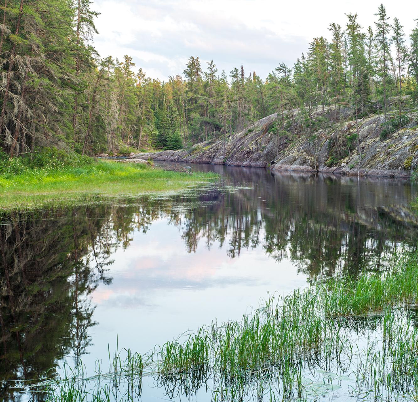
The province has mandated that Hydro build the power line down the west side of the province so as not to jeopardize efforts to establish a World Heritage Site in the wilderness forest east of Lake Winnipeg.
The transmission line is needed to transfer more electricity from northern dams to Winnipeg.
The longest of the three routes proposed on the Hydro map is Route A at 1,470 km, versus the more direct 885-km route on the east side of the province. Route B is 1,290 km and Route C is 1,345 km.
The map is on the Free Press website. It shows the giant arc the Bipole III transmission line will have to take through developed and populated country in order to reach the converter station north of Gillam on the Nelson River.
The routes are carefully drawn not to cross provincial parks like Duck Mountain and Clearwater Lake. However, they do cut through forest reserves like Cormorant, Porcupine and the Duck Mountain reserve.
A forest reserve is not a full-fledged provincial park, but it has some development restrictions to preserve habitat.
Those most anxious to see the maps may be farmers. They want to know whether they'll have to put up with a 60-metre right-of-way running through their properties.
The transmission lines are especially aggravating when they run diagonally across farm fields. "They interfere with our farm operations in a major way," said Ian Wishart, Keystone Agricultural Producers president.
The greatest impact is on irrigation and row crops, and the least impact on livestock farms, he said. Manitoba Hydro will have to provide farmers some compensation, but that has not yet been discussed.
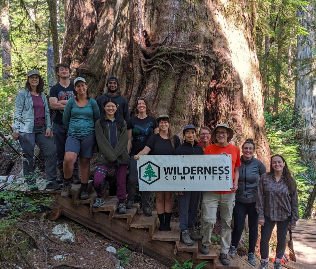
Meanwhile, Manitoba's Wilderness Committee, one of the environmental groups that lobbied for the west side route, is happy with what it knows so far about the proposed routes.
Provincial forest reserves are set aside in part for the logging industry, said Eric Reder, Wilderness Committee director for Manitoba.
The disturbance by transmission lines "is not much different than with any other development," he said. "Until someone says it's cutting through a rare ecosystem or watershed, there's no concern that we see there."
Manitoba Hydro is planning a series of public meetings around the province in the coming months to gather opinions on the proposed routes.
"We expect to get much more direct feedback from people and that will help us narrow down the routes," Schneider said.