Documenting Kinder Morgan’s work on Burnaby Mountain
Thursday, November 6, 2014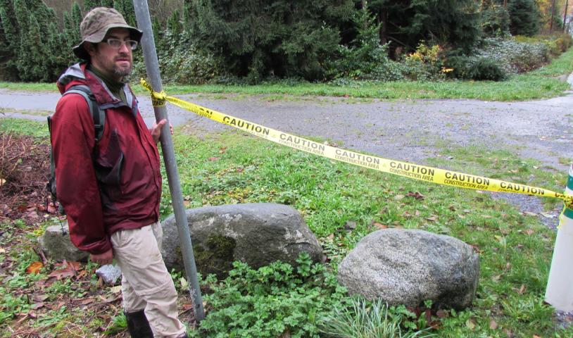
November 6, 2014
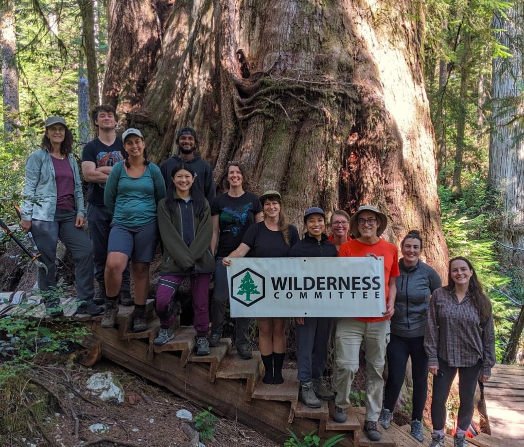
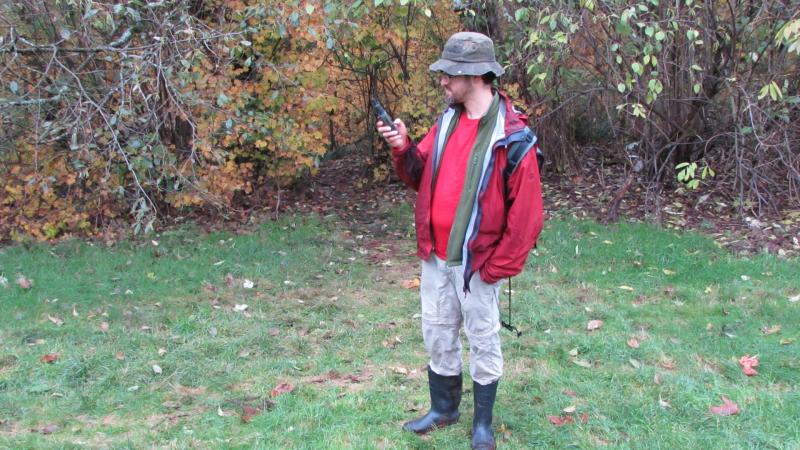
The Wilderness Committee’s resident mapper Geoff Senichenko and colleague JP LeFrank headed out to Burnaby Mountain on Wednesday, November 5 to track coordinates and document invasive survey work conducted by Kinder Morgan crews in the local conservation area. Here is Geoff’s update from the field:
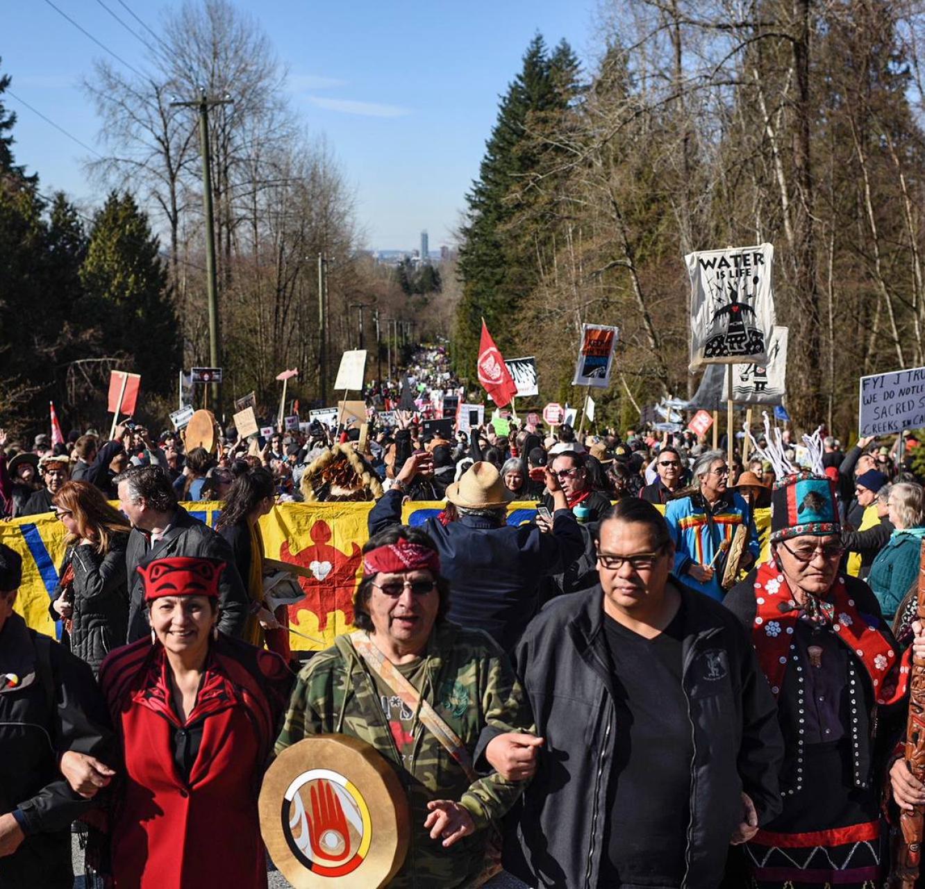
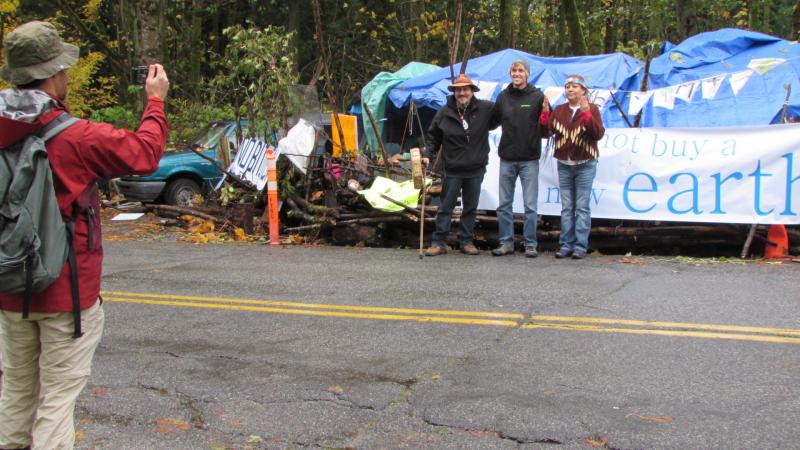
JP and I first showed up at 9:30 a.m. at the camp of concerned citizens defending Burnaby Mountain Conservation Area from Kinder Morgan's plans to clear trees and conduct test drilling for its proposed tar sands pipeline. People were talking quietly, and a couple of First Nations people began to sing and drum. The songs relaxed us and warmed our hearts.
 We briefly chatted with people then began to walk away, just as three restoration business vans pulled up with workers in high visibility vests. They saw the dozen of us at the camp and left. Campers thought they may have been Kinder Morgan contractors trying to do more tree clearing and preparing drill test sites, but they realized that with so many of us around, they probably wouldn't get very far today with their work. Then JP and I were off on foot to look for and document a recent site of cleared trees.
Well, after walking back and forth on many trails near the camp, we realized that it was difficult to find the site. We were off on a wild goose chase. It wasn’t until we were back in the office later that we realized the maps we were using showed the proposed route too far west.
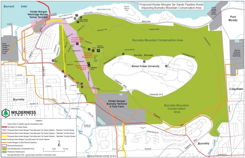
 Despite submitting multiple route adjustments through this area already, it turns out that Kinder Morgan has recently proposed yet another route change – tunnelling diagonally northwest through Burnaby Mountain from the company’s tank farm to its marine terminal – and hasn't filed it yet with the National Energy Board (NEB). I only found this out later in the office after searching Kinder Morgan's website.
Anyway, after a couple of hours of searching, we headed back to the camp to try to get more detailed instructions from campers about exactly where this cleared area was. Then we were off again – and this time we were successful.
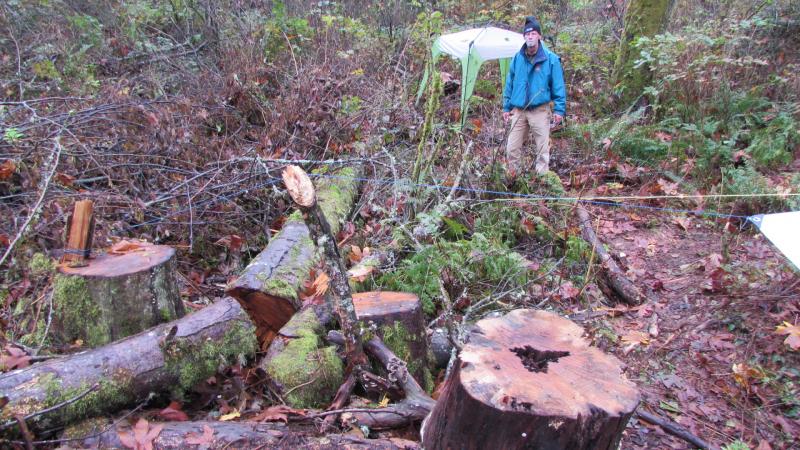 We came to a clearing off of a trail called "Russ Trail". The Russ trailhead is located just off of the northwest end of Centennial Way, near some totem poles carved by Innu indigenous people of Japan. In the clearing down Russ Trail were about half a dozen tree stumps and another smaller camp set up by the defenders. There we took some photos, and I recorded a GPS location. It made me angry to see that Kinder Morgan could just come into a park and cut trees down to build a pipeline.
After that we returned briefly to the camp, where a fire was recently lit. The two First Nations people there explained that it was a sacred fire. It was being lit at the beginning of the court hearings regarding the injunction Kinder Morgan is seeking against Burnaby park defenders, and it would have to be kept lit until Friday, when the court proceedings are supposed to be finished.
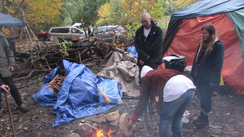 The sacred fire is used to give strength to the defenders and campers, in the hope that we prevail in protecting the Earth from this tar sands pipeline.
Then there was some more singing and drumming, and a bag of tobacco was passed around to the eight or so of us present to sprinkle some onto the sacred fire. The act of sprinkling the tobacco, being at the sacred fire and feeling the singing and drumming again calmed me, filled my heart and gave me hope.
We soon left, but came away feeling hope that Kinder Morgan can be stopped, and that the Earth and climate can be protected.
- Geoff
See below for our most updated map of the Kinder Morgan proposed/alternate/revised routes through Burnaby Mountain Conservation Area.